Road building
Innovation on the motorway: digital models, drones and future-proof solutions in operations

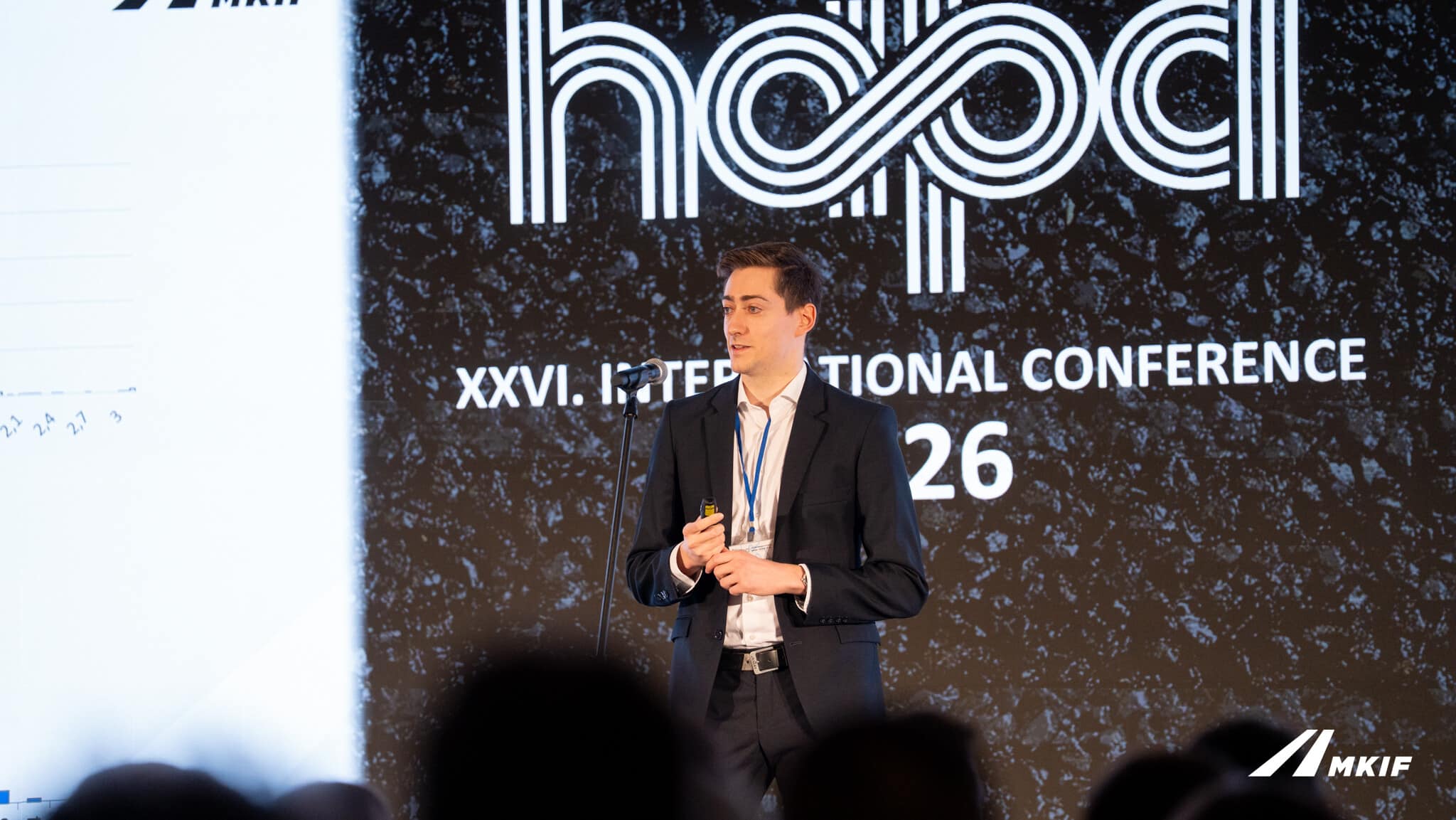
Development and innovation tasks are now closely linked to the operation of motorways. The MKIF Magyar Koncessziós Infrastruktúra Fejlesztő Zrt. is responsible for the technical implementation of specific investments on the one hand, whilst on the other hand it carries out developments that transform operations in the longer term. As a development project coordinator, Domonkos Koch deals specifically with the development of the M1 motorway and its technical implementation, whilst as an innovation engineer, he is responsible for projects relating to road surfacing and technologies.
„I am also a PhD student; I regularly publish academic papers and frequently attend conferences. My aim—our aim—is to raise awareness of our work amongst the professional community and to build relationships and exchange experiences with other professionals in the field, both at home and abroad.”
17 February 2026
As an innovation engineer, Diána Szigeti is primarily involved in operational development. A key objective for the Company is to make the operation of the existing infrastructure more efficient and safer.
Although many of the projects currently underway at MKIF Zrt. are still in the experimental phase, it is already clear that they are successful and, indeed, form part of a carefully structured, interlinked development system. If these solutions prove successful, they could make the operation of the domestic motorway network more efficient and, in the long term, could set the direction for the entire sector.
Digital platforms: mobile mapping systems
Digitalisation now offers contractors a huge advantage not only in building construction, but can also be used effectively in road construction. „One such tool is the mobile mapping system. This is a vehicle-mounted laser scanner, supplemented by cameras, which is capable of collecting detailed data on the road and its surroundings whilst travelling at traffic speeds” – explains Diána Szigeti.
The surveying instrument scans the entire surroundings within a range of 150–200 metres, generating a high-resolution point cloud from which a digital model of the entire infrastructure can be created. This represents a significant step forward in the operation of these facilities.

The system is also used for measurements where other standard procedures are currently the established practice, but as Domonkos Koch pointed out: „a mobile mapping system like this is a valuable resource for a road operator precisely because it is a highly complex tool with a wide range of potential applications. Last year we tested road condition assessment, and this year we plan to assess pavement thickness. These are interlinked projects aimed at creating a digital model of the entire built network within five years.”
Facility management – optimal operation is key
The database created in this way will, in the long term, enable more accurate planning and optimised interventions. This forms the basis of facility management. As Diána Szigeti explained:
„Our aim is to ensure that our operations remain predictably cost-effective in the long term. With the tools currently available, it is much more difficult to make optimal decisions looking decades ahead. We can plan for 1–2 years, but not 35 years ahead. These tools enable us to make optimal decisions throughout the entire duration of the concession.”
A new approach to pavement inspection
Traditional pavement inspection methods – such as core sampling – are slow, costly and destructive. The aim of this innovation is to replace them with more modern, data-driven solutions. „With mobile mapping, it may even be possible to determine pavement thickness – over a larger area and with more detailed data. Whereas drilling provides one data point every 3,000 m2, here we collect information continuously across a large area” – explained Domonkos Koch, going into the details.

The method for measuring road surface load-bearing capacity is also in need of an update. The innovation engineers at MKIF have taken charge of the process and, together with two university researchers, are developing a more modern method capable of classifying load-bearing capacity specifically from dynamically collected data. As he says: „We have already presented this to a professional audience at conferences, and we will complete the project by June. Our aim is for the method to become part of road engineering technical specifications, but we know this could take several years.”
Another key area of development is the automatic detection of cracks, which enables more accurate and objective assessment through machine learning. The development project coordinator added:
„The aim of the Concession Company is to develop a domestic fracture assessment method that allows the same result to be achieved using multiple tools. To this end, once the theoretical foundations have been laid, it will be necessary to test several tools.”
Decision support for 30 years: pavement management system
A key element of long-term planning is the pavement management system (PMS), which helps to determine when and what type of intervention is most cost-effective.
„The aim is to be able to determine which sections of road should be upgraded, when and using what technology, throughout the entire concession period, specifically from a cost-effectiveness perspective, whilst complying with our contractual obligations.”

This approach goes beyond short-term fixes and enables life-cycle-based optimisation. „Whilst 30–35 years may seem a long time in Hungary, it is actually very short by international standards. In Austria, they think in terms of a hundred years, just as we plan our infrastructure, bridges, drainage systems and earthworks for a hundred years. Pavements have a shorter lifespan, so it makes sense to optimise maintenance and repair work over a 30-year period” – explained the innovation engineer
Drones in operational service
One of the most striking innovations in operations is the introduction of drone technology. Testing of several drones and base stations is already underway on a section of the M1 motorway.
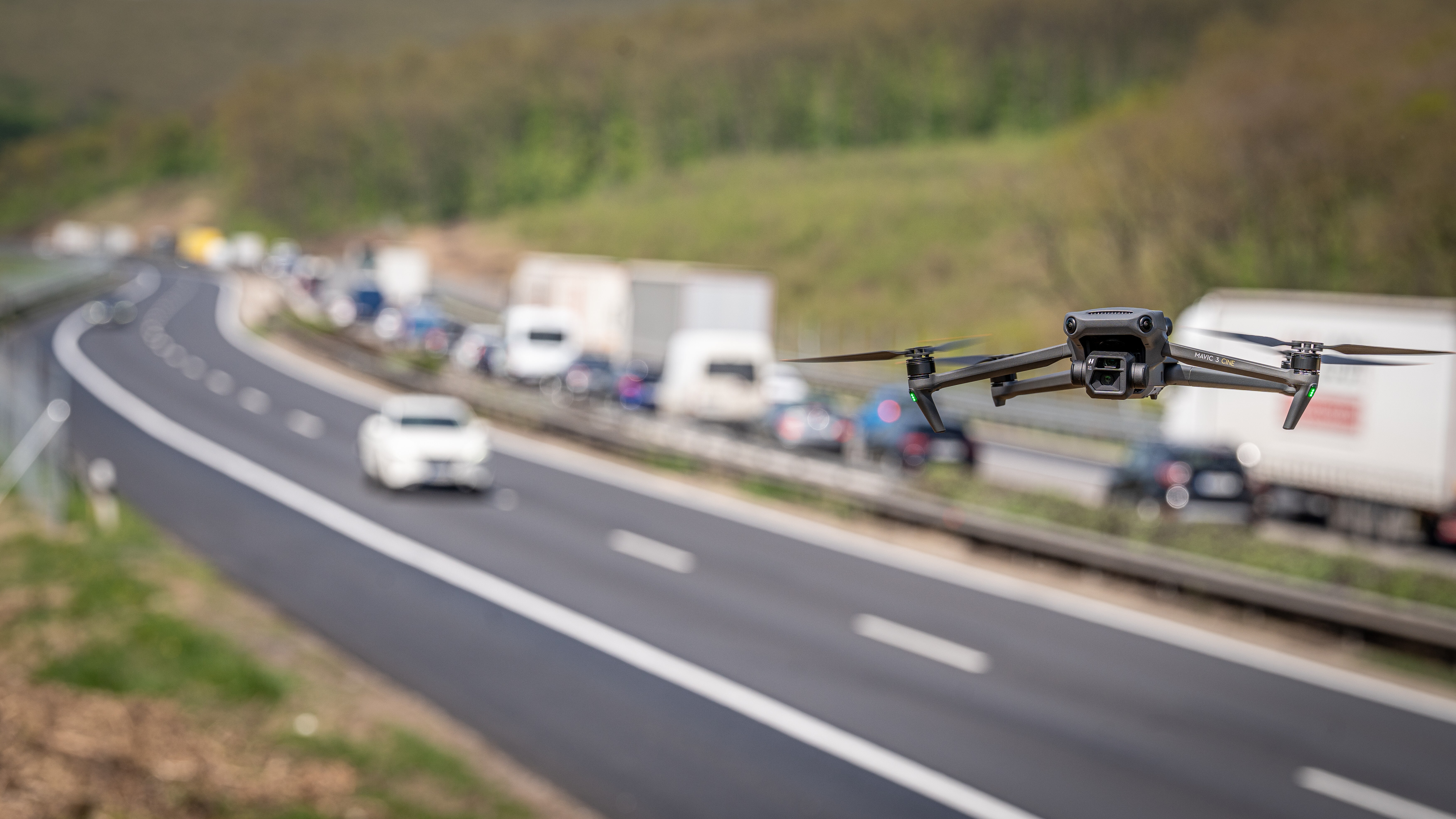
Drones provide a real-time picture of traffic conditions and respond quickly in the event of accidents or congestion. These devices have been undergoing testing since April with two main objectives: to replace on-site road inspection activities, and to monitor traffic and investigate any congestion that arises.
„During the trial period, three drones will be operated from five base stations along the M1 line; these stations are located every ten kilometres from Herceghalom to Tata. We use the drones to monitor traffic: if an accident occurs, we immediately dispatch the nearest drone to the scene and receive a live feed of the situation. We are also testing whether it can gather information that could assist road inspectors in their work,” explained Diána Szigeti.
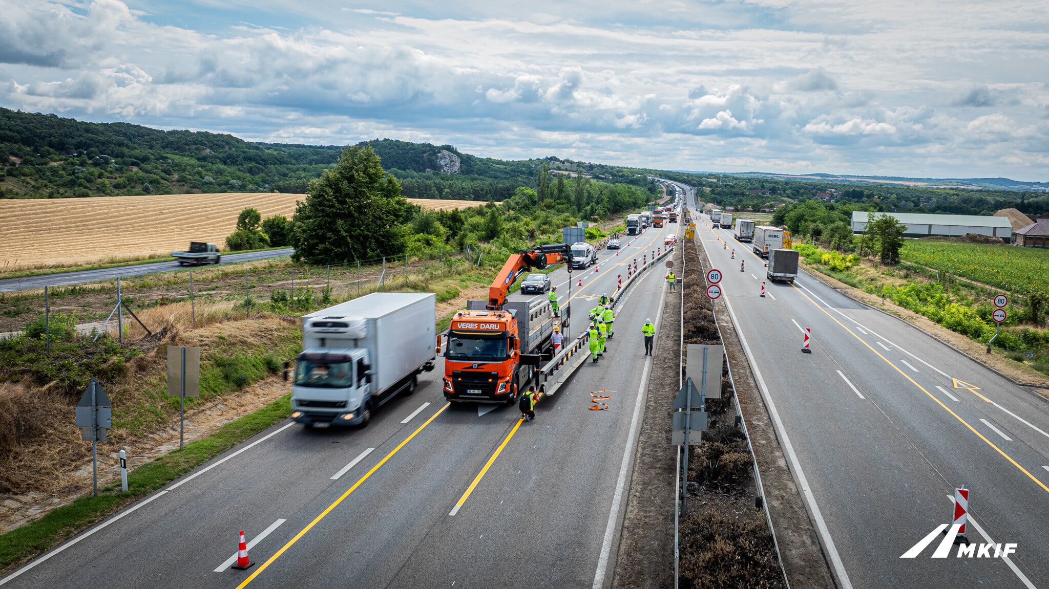
Artificial intelligence will also play a role in the future operation of the system: for example, the system will be able to automatically detect damaged guardrails or obstacles on the carriageway.
Road safety: making decisions based on data
The innovation engineer emphasised that another key aim of the developments is to make travel on the motorways safer. To achieve this, the problems must first be accurately identified.
„The first step is to understand what causes accidents and how we can influence road users” behaviour. This involves the use of camera surveillance, traffic data and various experimental solutions.”
Resilience and sustainability: adapting to the future
Innovation can no longer be separated from sustainability and environmental adaptability. „The question is not whether we can operate sustainably, but to what extent we can adapt to a changing environment” – stated Domonkos Koch.
The aim of resilience studies is to explore:
- how our activities or infrastructure have affected the environment over the past 35 years,
- and how the environment affects the infrastructure or our activities during the same period.
The risks associated with these factors must be identified and ways to mitigate them found. This may include, for example, planting vegetation, noise pollution or even the effects of climate change. Of course, we cannot talk about resilient infrastructure in isolation; we are confident that other industries will also move in this direction and that, together, we can create a more resilient environment.
Continuous learning from international examples
The developments are also based on international experience. The experts at MKIF Zrt. are in constant consultation with international industry stakeholders; they regard the practices of Austrian, Portuguese and Italian motorway operators as positive examples. The aim is to develop a system that is tailored to the domestic environment but also employs state-of-the-art solutions at an international level.
Invisible work, measurable results
The ultimate goal of innovation is not necessarily spectacular – quite the opposite. „We are doing our job well when our work is the least noticeable” – says Domonkos Koch.
This means fewer faults, safer transport, more predictable operations – and a road network that operates in a sustainable manner in the long term. The interview clearly shows that the future of road operations is built on data, digitalisation and collaboration.
Source: Link










One of Abony’s most important transport routes is to be redesigned

This is how flash floods on the vineyard-covered hills in the Pécs conurbation are being prevented

Order has been restored: production of the new Közlekedési Múzeum can now go ahead as originally planned

We took a look at how the refurbished Igazságügyi palota building turned out

Four new bridges to be built in the heart of the former industrial city

Rain gardens are coming to Budafok, with over 3,000 square metres of green space set to be developed

Contemporary art deco in Csopakon

Safer driving on the motorways: new digital signs for the MKIF
-

 Current at 2026. 09. 09.
A first-hand look at a career in engineering – Duna Group Szabadegyetem is back
-
Climate-X 2026. 09. 09.
Nyíregyháza Spartacus FC goes green – four hundred solar panels to be installed on the stadium roof
-
Bound track 2026. 09. 15.
Nearly 50,000 people travel on it every day – the refurbishment of the Cegléd main line continues
-
Current at 2026. 09. 09.
Rental flats, Rákosrendező, decentralisation – important ideas were put forward on the Real Estate Beach Conference stage